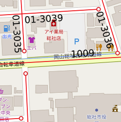
道路・河川・水路台帳図
公開用台帳
検索
接続
ホーム
プロジェクト
レイヤ
情報
フィルター
選択
検索
地理位置情報
印刷/ファイル出力
計測
パーマリンク
描画
データ
プロジェクト
レイヤ
情報
フィルター
ベースレイヤ
タイトル
道路・河川・水路台帳図
投影
EPSG:3857
範囲
14860770.42839184962213039, 4112076.23575113387778401, 14904775.36420893855392933, 4134866.51580985682085156
Web マップ サービス
WMS Url
WMTS Url
オプション
下位にフィルタを重ねて表示する
データ
閉じる
最大化
データ
×
検索
×
地理位置情報
×
印刷/ファイル出力
テンプレート
縮尺
DPI
100
200
300
PDF
JPG
PNG
SVG
印刷/ファイル出力
×
計測
長さ
面積
周囲長
角度
×
パーマリンク
共有
埋込
小
中
大
パーソナライズ
×
×
描画
選択
検索
地理位置情報
印刷/ファイル出力
計測
パーマリンク
描画
これ以上ズームできません。
閉じる